P. O. Box 88 Kamuli Uganda | Tel: +256 704522550 | Email:kamuli@kamuli.go.ug. District Website Portal: https://www.kamuli.go.ug
GENERAL INFORMATION
The total population for Kamuli district local government as per the National...


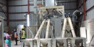
 by BENSA Investments LTD.")

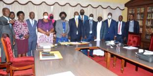
, held at the DPMO' s office.")


 at Yanna senior secondary school and Orion Junior School in Nawanendhe Parish, Bugulumbya Sub County. Water Aid in partnership with the Church of Jesus Christ of the Latter-Day Saints is implementing a six month water, sanitation and hygiene (WASH) project in Nawanendhe Parish. The project incorporates a combination of direct service delivery initiatives to improve service levels for water and sanitation along with software activities targeting improved hygiene behavior and management for the installed water system to ensure long-term sustainability.")

 which is managing the sanitation and hygiene fund globally, in partnership with Ministry of Health identified Water For People a non profit NGO to implement SHF-Sanitation and Hygiene Fund project) from April 2023-December 2025. Communities of Balawoli, Namwendwa,Wankole,Magogo and Municipality are the first beneficiaries of this project.")
 thanked PLAN for the continuous support to the district and urged the Agriculture Officers to continue sensitizing youths to get involved in such Income generating activities. (IGAs)")
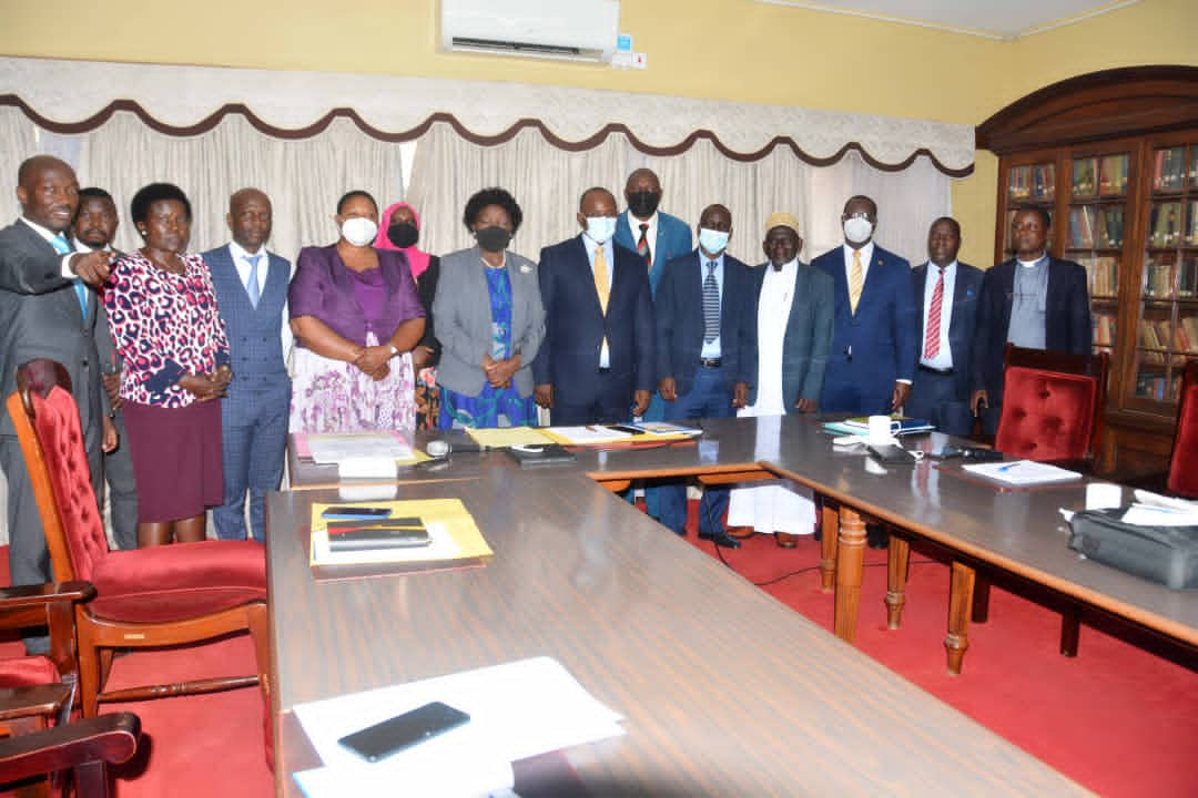
 in the district boardroom.")


, a number of activities will be conducted across the district and these are:-1. Conduct a health camp at Nankandhulo H/C IV or KGH. 2.Health camp at Kagumba H/C III and Bulopa H/C III. 3. Vector control exercise (fumigation) at Buwenge mpya, Kibuye landing site and Kamuli central market. 4. Construction of a 2 classroom block at Bulondo P/s and a staff house.5. Construction of a classroom blocks at Bulopa SS. 6. Distribute scholastic materials to Kiwolera P/s. 7. Fencing off Kamuli General Hospital.")


 Project funded by Impact and Innovations Development Centre. (IIDC).")

 Constitution Review /Consultative meeting with district stakeholders. This comes after a leader's sensitization & awareness meeting that took place in soroti district. LAKIMO's purpose is to provide a framework for coordination and coherence in the integrated, participatory planning and sustainable management of Lake Kyoga natural resources for the socio- economic benefits of lake - dependants communities.")


 in a District planning meeting for the Sanitation and Hygiene project. IRC is implementing WASH software activities in schools ie:- Matuumu Catholic P/s,Bulemezi,P/s,Kidiki p/s,Luzinga CoU p/s and Balawoli p/s. It's also in the health facilities of Kagumba H/C III,Namwendwa H/C IV and Balawoli H/C III.Project Goal is to improve universal Access to safe sanitation and hygiene in Uganda and specifically to improve approximately 18.1% safely managed sanitation in the district.")
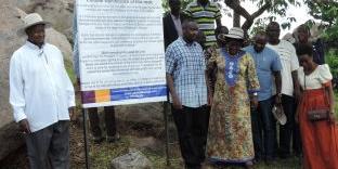
 together with the United Nations Development Program which received funding from the German Federal Ministry of Environment Nature Conservation and nuclear safety to implement "Scaling up climate Ambition on land use and agriculture (SCALA) through National Determined Contribution (NDCs).")